Former St John Fisher School, Chatham
Residential-led regeneration proposals for the former St John Fisher Catholic Comprehensive School site in Ordnance Street, Chatham have now been submitted to Medway Council following local community consultation. This website has been launched on behalf of Eutopia Homes, the new owners of the site to help local residents, businesses and other interest groups find out more about the emerging plans and provide their feedback at pre-application stage. Medway Council is carrying out its own local consultation on the application prior to a taking a decision at its Planning Committee, which is expected to take place in the autumn of 2024.
Background and existing condition
The 2.4 hectares (5.93 acres) site is located on Ordnance Street within an approximate seven minute walking distance of Chatham Railway Station.
Now vacant, it had been occupied continuously by the St John Fisher School for almost 60 years from 1964 prior to the school’s relocation in February 2022 to a brand-new £40m single site facility on City Way in Rochester.
The site is surrounded by residential development on all sides and is primarily two-storeys in height with some exceptions that are three to four-storeys.
The site has an extensive boundary of trees and hedgerows mixed with wire fences and gates. This green buffer which is unkempt and untidy in many places, separates the site from the surrounding housing, meaning that the site has little relationship with its neighbours.
The main former school buildings are located in the north-eastern part of the site between Ordnance Street and Charles Street. The buildings range in height between two to four storeys and are of varying construction dating from the 1960’s to 1980’s.
Unfortunately at the end of 2023, there were some trespassers on site which led to a fire in one of the buildings. Eutopia has taken steps to improve security while the future of the site is being resolved through the planning process.
The four existing vehicular accesses to the site are to the north off Charles Street, to the east off Ordnance Street and there are two further access points off Perry Street on the eastern side of the site.
There is a further gated non-vehicular access to the west adjacent to 64, Boundary Road.
To the north west of the site is a car park which is accessed from and entrance on Charles Street. Grass playing fields and hard outdoor play areas are found at the lower southern end of the site.
There are significant level changes across the site from the southeast to north west and there are a series of retaining structures roughly running north south across the site to address these level changes. The highest point is located near the school entrance on Ordnance Street. There is around an 18 metre height difference between the highest and lowest points.
A retaining wall is also located on the site boundary at the low point in the north west adjacent to Priestdale Court. The retaining walls appear to be in good condition, and there are no reports to suggest that this structure cannot continue to provide retention for the site.
Key features of the proposed development
The draft pre-application plans for the site seek to provide new homes which would be a return to the historic residential street pattern that existed prior to the development of the school.
The design aspiration is to re-introduce these streets and improve the relationship with the residential buildings around the edges of the site, whilst also re-providing lost public green space.
Eutopia prides itself on providing unique homes which are designed by leading architects to respond to the special character of each site. These will be bespoke properties rather than standard house types offered by many volume housebuilders.
The existing mature tree boundary and hedgerows on all sides of the site are recognised as an important feature that should be retained as much as possible. The opportunity to introduce additional open spaces and increase biodiversity are also part of the design team’s thinking.
The proposal which is currently the subject of local community consultation will involve the demolition of all the existing buildings at the site and the construction of new homes in the form of terraced housing and apartment blocks.
The current proposal is for 77 new houses and 62 new apartments, providing 139 new homes in total.
A proportion of the new properties - still under discussion at this stage with Medway Council - will be offered as affordable housing.
Main central street
The proposed layout – which you can see in the slider images above - is based around a main street running through the centre of the site. This will extend southwards from an entrance on Charles Street. The layout is designed to complement the street pattern of the surrounding residential area.
The central street will include two, three and four-bedroomed terraced houses with private gardens of at least 7 metres long.
The proposed houses are grouped into two distinct terraces and carefully located to ensure that the existing tree buffer around the western, southern and eastern boundaries is retained and unaffected.
This will ensure that the privacy of existing residents along the site boundaries is protected.
Much like the existing streets around the site with their gradients, the proposed new homes will follow the incline and cascade downwards to the south of the site. At the southern end, a row of eight terraced houses serves as a bookend to the street and replicates the orientation of the existing houses on Grosvenor Avenue.
To ensure that the new homes are sympathetic to the existing area, the proposed materials will seek to mimic those found locally such as buff brick and render. Subtle differences in the use of materials will differentiate the house types from one another.
Loop street
A secondary loop street – which you can see in the slider images above - is proposed at the north eastern corner of the site and links Ordnance Street and Perry Street. There is no connection through here to the main central street.
In this part of the site, two separate apartment blocks are located, running along the edge of Charles Street and Ordnance Street as the corner is turned.
The apartment blocks are proposed to be four-storeys in height, although the slope west to east downwards along Charles Street means that one of the blocks reads a storey lower due to the incline.
Two rows of three-bedroomed terraced houses are also proposed here, with one of the terraces along the frontage of Perry Street. The second terrace is side on to the existing properties in Ordnance Street and the gardens for both terraces are back to back, creating a wide visual gap between the proposed new homes.
Landscaping and open space
The key thinking here is to provide new access points to enable enhanced connectivity to a variety of public open spaces across the site.
The existing softscape area across the site is around 10,450 sq. metres, but this was not accessible to the local community.
The proposed softscape area associated with the new development will be increased to an estimated 11,895 sq. metres.
Key elements include extensive public open space in the north western part of the site along the boundaries of properties found along Boundary Road and Priestdale Court. This will be around 1 acre in size and will include a natural play area, lawn area and communal garden as well as a woodland area and biodiversity zone.
Pocket parks and other green spaces will also be provided featuring new planting and offering wildlife habitats.
To facilitate public access, a pedestrian route is proposed using the currently disused access adjacent to 64 Boundary Road. Pedestrian links will also be provided to allow people to walk through the public open space to Charles Street and eastwards to Ordnance Street.
As indicated above, the intention is to retain the existing trees and vegetation as much as possible along the boundaries of the southern section of the site along the rear of the gardens of Boundary Road, Grosvenor Avenue and Perry Street. Pruning and tidying up are likely to take place to ensure that the boundaries are well-managed and visually appealing.
Parking
The design team is keen to create a new residential neighbourhood which is pedestrian-friendly and where the car does not dominate.
66 car parking spaces will be provided and located in front of houses where possible, with additional spaces integrated into the layout at multiple locations providing both standard spaces, electric charging points and blue-badge parking spaces.
Each house will have a defensible space to the front, where bin and bike storage will be integrated into the design.
In the southern part of the main central street, car parking will be located on one side of the street only to allow the houses to be moved further into the site, away from the crown of the trees along the boundaries.
Key aims
The draft plans for the site aim to:
- Provide a sensitive redevelopment of this key brownfield urban site;
- Give a vacant previous educational site an attractive new identity;
- Create a new neighbourhood which fits in well with the existing area;
- Re-create the historic street pattern;
- Minimise impact on neighbours by retaining and enhancing the trees and vegetation currently found on the site’s boundaries;
- Re-introduce public access and provide attractive open spaces where people can relax and wildlife can thrive;
- Design a new, high quality and sustainable residential neighbourhood with good access to Chatham town centre which reduces reliance on the private car and encourages walking and cycling;
- Introduce bespoke high quality design created specifically for the site and
- Deliver a mixed tenure development including affordable homes to meet local housing needs;
- Incorporate sustainable energy initiatives and other environmentally friendly elements; and
- Provide appropriate car parking.
How the community was involved
Our local consultation ended with the submission of the planning application. We involved the community in three ways:
-
A drop-in session held on Tuesday 12th March 2024
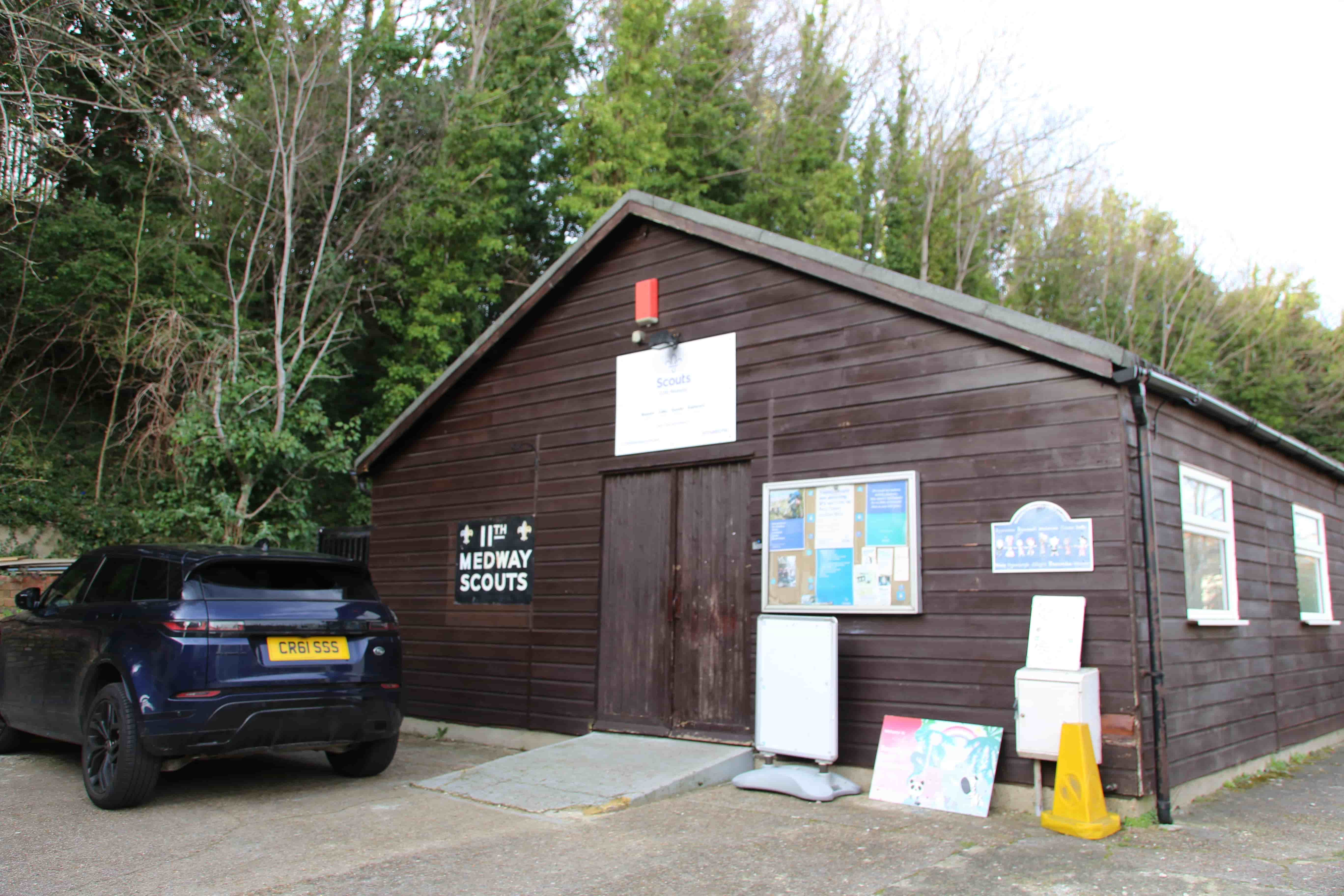
We were at the 11th Medway Scout Hall on Boundary Road, Chatham ME4 6UW between 4.30 pm and 7.30 pm. A good number of neighbours to the site attended and gave their feedback which we recorded and set out in a Statement of Community Involvement. We also provided information and drawings to those neighbours who requested it so they could understand how the new development would relate to their properties. The information we displayed at the drop-in session may be seen in the downloads section of this website.
-
A live presentation (webinar) on Monday 18th March 2024
We held a live presentation (webinar) of the new proposals via Zoom. We have made a recording available on this website if you would like to watch it.
-
Contact through this website
Although our pre-application consultation is now closed, you can use the online form below to contact us. You can also give us your feedback
If you would like to speak with us direct about the proposals, we have also provided a free to call help line telephone number.
Have your say
We invite you to join the conversation by giving us your thoughts in our feedback form.
Leave feedbackMeet with us
We'll be at the 11th Chatham Scout Hall on Boundary Road, Chatham ME4 6UW on Tuesday 12th March 2024 from 4.30pm to 7.30pm if you'd like to discuss the plans
View the panels
Please use the button below to download the panels we showed at our drop-in session held on 12th March 2024.
DownloadWatch our webinar
Please use the button below to view the recording of our webinar held on 18th March 2024.
WatchView the webinar presentation
Please use the button below to download the architect's presentation made at our webinar held on 18th March 2024.
DownloadContact us
You can call us free of charge on
0800 246 5890.
You can also email us on:
contact@ordnancestreet.info